

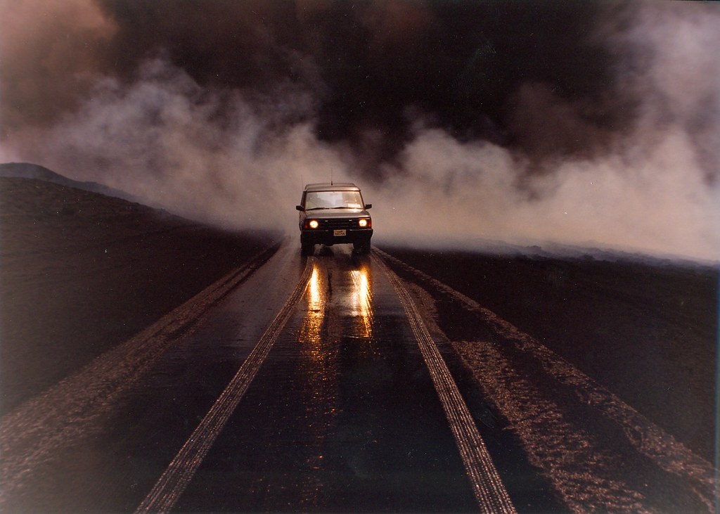
A new street-by-street tool allows people to check toxicity of their atmosphere based on postcode, with in-depth details of health risks associated with each pollutant.
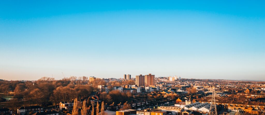
A tool that has been touted as the most advanced street-by-street map of UK air pollution levels has launched, allowing citizens to locate their home and receive a full breakdown of the types of air pollution identified in their area.
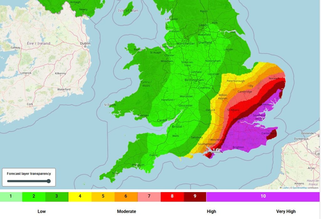
The Address Pollution resource was created by the Central Office of Public Interest (Copi) and Imperial College London, and bases its analysis on recently updated World Health Organisation (WHO) guidelines on air pollution levels. These include small particulate matter PM2.5 and PM10, alongside nitrogen dioxide and carbon dioxide. The map uses data from 20,000 monitoring sites in 320 council areas across Britain to produce a 20 metres squared resolution model of national air pollution.
Open to anyone, users simply need to type their postcode into the map and will receive an overall air pollution rating, including the national percentile their home falls into. They will also find a summary of how many WHO guidelines the street exceeds, and a full breakdown of which pollutants this refers to and a thorough list of health risks associated with these.
Usefully, there is also a direct link to ‘Demand Action’, which opens a form to add names and email addresses to a petition underway to get property websites and estate agents to give full disclosure of air pollution levels for each listing. It was recently found that 97% of UK properties breach at least one WHO guideline on air pollution.
Possibly cobblers since it is other-end-of-the-scale compared to the BBC postcode lookup.
This looks useful, but I would also like to see a national map of the air pollution levels. IQair, among others, have just realised an app that shows it in map form. Is the data from the same monitors??
Does anyone know where the data is from? If it is provided by councils, then my council doesn’t monitor PM, which may explain why it doesn’t appear to include pollution from wood burning stoves.
I would be interested to know where the data is coming from. I live about 2 miles from the nearest official air quality monitor in central Belfast, NI. This is the only local monitor that monitors PM2.5 & PM10 (Air quality in Northern Ireland – latest pollution levels, air pollution information and reports (airqualityni.co.uk)). Is this new website extrapolating from this official data to different postcodes/roads, or is it using its own monitoring equipment in local areas?
Air quality has been monitored in very many key places for 30 years. They used diffusion tubes on lamp posts at first.
I wouldn’t enitely trust this out in the countryside. I checked for my address. I live outside the town and happily I got a very low score. But so does my GP surgery and dentists in the middle of our closest town next to the bus station and where the air is nearly always smoky from chimneys. I asked and it seems our local air quality is not assessed by the country council at all. So how and where this postcode organisation gets its information I really don’t know. I conclude the results are far more likely to be accurate in the cities, which is good, and I do approve of this initiative, but perhaps some other readers can ask their local authorites if they are actually inclucded? Also is the level from copi a yearly average? If so then the air around your home could be a lot worse in winter (chimneys) or at times when the trafic is heavy. What if someone buys a house somewhere with a clean air rating from the copi postcode measure and then finds out the neighbours burn wood or leave their engines running? I mean how small-scale do these postcode estimates really go? We haven’t seen anyone out measuring the air around our town or villages with monotroing equipemnt, have you? I see the paragraph above says ‘20,000 monitoring sites in 320 council areas across Britain to produce a 20 metres squared resolution model of national air pollution’. That sounds impressive, it is. But the internet says England has 333 council areas, Wales 22, Northern Ireland 11, and Scotland 32. Totalling 498. So we’re not all in there are we?
How do we know that the data is accurate? It could be completely fake.
Was isn’t ozone included?
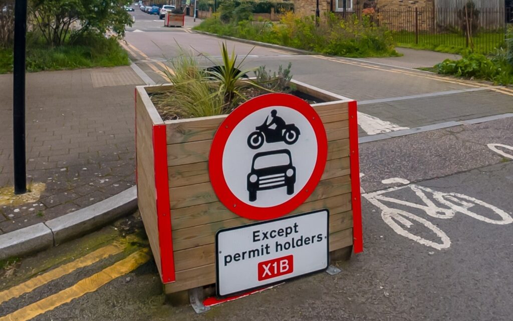
Air pollution increases rapidly near the kerbside but the model only has a 20m resolution.
I doubt it’s fake but perhaps not inclusive enough? We all ought to be asking our local authorities if they are monitoring the air continuously where we live, especailly around the schools, and at rush hour, and for all the different seasons, and we ought to know where we can find this information. Otherwise we shall have to all get our own air quality meters. And yes we need to know about ozone, particulates and NO2 etc not just a vague general band or number. The we could work out what the polluiton culprit is, if there is one. Perhaps. Time to stop the bonfires too, I be those go udner the radar because it is assumed they are only occasional, when some are very frequent. We know a neighbour who burns goodness knows what and very often but it’s legal and he gets away with it. That sort of thing won’t show up on this copi system, I fear.