


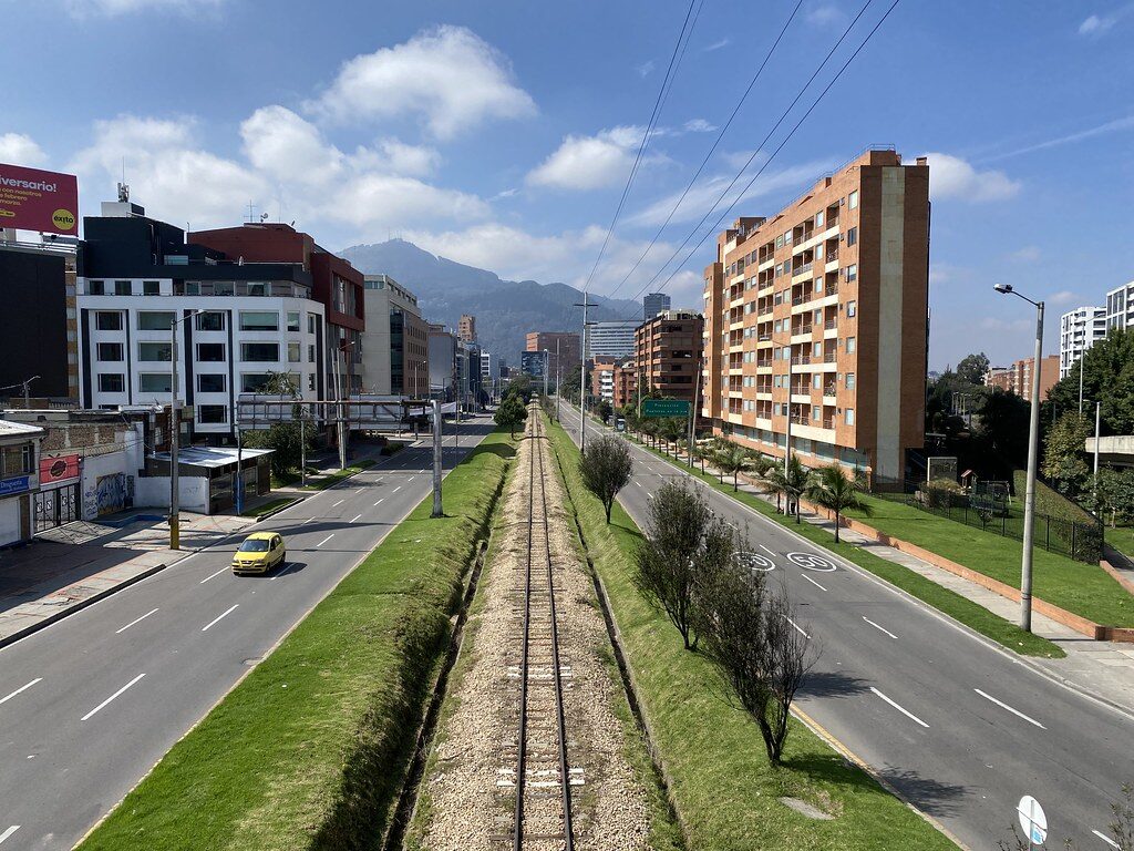

Westminster City Council has marked the fact that today is World Car Free Day with the launch of Clean Air Routes London, a free interactive map designed to help residents, workers and visitors navigate the capital using routes with the best available air quality.
The tool aims to encourage people to leave their cars behind in favour of walking or cycling, while at the same time reducing exposure to harmful pollution. Developed in partnership with Cambridge Environmental Research Consultants (CERC) and supported by DEFRA, the platform uses forecast air quality data, including information from Westminster’s own network of sensors.
By entering a start and end point, users are offered up to three different route options, each displaying predicted pollution levels along the way. The map then recommends the option with the lowest exposure to pollutants such as nitrogen dioxide and PM2.5.
AQN asked the tool to suggest the optimum route from Wood Green tube station to Alexandra Palace.
- The worst route would expose us to 5.1 µg h/m³ (NO2) and 1.7 µg h/m³ (PM2.5).
- The best route would expose us to 3.2 µg h/m³ (NO2) and 1.4 µg h/m³ (PM2.5) and take just one minute longer.
The launch of Clean Air Routes London is part of Westminster’s Air Quality Action Plan 2025–2030, which sets out the council’s strategy for cutting emissions and promoting healthier travel choices across the city.
The tool can be accessed here.
Cllr Geoff Barraclough, Cabinet Member for Planning & Economic Development, said: ‘Air pollution is one of the biggest health problems in London, especially for people living near main roads. We’re working hard to cut emissions and improve air quality, and this tool is another way to reduce people’s exposure to harmful pollutants.
‘Clean Air Routes London shows how innovative technology can help address environmental challenges and improve quality of life. Whether you’re walking to school, cycling to work, or enjoying the city’s cultural attractions, Clean Air Routes London lets you choose a healthier way to travel.’
CERC, the council’s technical partner operates airTEXT, a forecasting and alert service used by local authorities in London, Surrey and Essex, which currently has over 21,000 subscribers. Its high-resolution air quality data – produced with the firm’s ADMS-Urban dispersion modelling system – was highlighted in the Chief Medical Officer’s Annual Report in 2022 and in DEFRA’s briefing to Directors of Public Health in 2017.
Amy Stidworthy, Associate Director for Forecasting and Data Services at CERC, said: ‘We are delighted that CERC’s innovative tools are helping the Council highlight cleaner, healthier walking and cycling routes by ranking journeys based on air pollution exposure, using hyperlocal real-time and forecast data from airTEXT.’
Air Quality Minister at DEFRA, Emma Hardy, said: ‘Clean air is essential for improving the health of Londoners, especially their lungs. This government is committed to protecting the capital’s residents from the harm of pollution, whether walking to work, cycling though our parks or visiting our markets.
‘We welcome the launch of Clean Air Routes London to help ensure people across the capital have the best advice on how to take cleaner, healthier journeys.’
Dr Gareth Thompson, Sustainability Clinical & Innovation Lead at Imperial College Healthcare NHS Trust, has used the tool and said:
‘The WHO has made it clear there is no safe level of air pollution. Clean Air Routes London is a practical, easy-to-use tool that helps local residents find alternative walking and cycling routes, significantly reducing their exposure to harmful pollutants. This is an important resource for protecting community health.’
Leave a Reply