
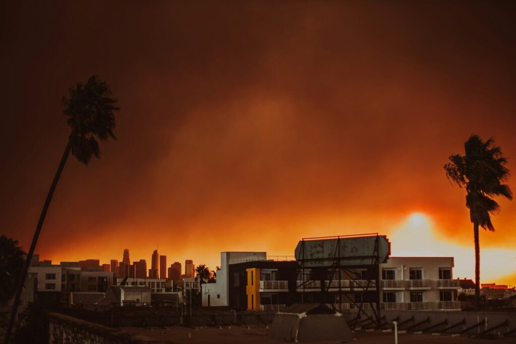

A groundbreaking new tool has been launched by global nonprofit Climate TRACE, allowing users to watch in real time how plumes of harmful air pollution flow out of facilities and into more than 2,500 urban areas worldwide.
The interactive platform visualises PM2.5, allowing people to see how pollution from power plants, ports, refineries, mines and heavy industry is carried into the air breathed by more than 1.6 billion people, with the worst impacts concentrated in global megacities.
Former U.S. Vice President Al Gore, a co-founder of Climate TRACE, said the tool connects the dots between carbon emissions and health risks: ‘Facilities that burn fossil fuels are the overwhelmingly dominant source of heat-trapping pollution that is driving the climate crisis — by using the sky as if it were an open sewer.
‘The particulate air pollution they also create falls downwind into surrounding neighborhoods and is causing the deaths of 8.7 million people per year. Now that we can clearly see how and where people are being exposed to this harmful pollution, our leaders must do something to reduce it.’
The data shows that “super emitters” – facilities ranked among the top 10% of PM2.5 polluters – are particularly dangerous. Of the 1.6 billion people affected globally, more than 900 million are exposed to pollution from these sites alone.
According to Climate TRACE, the ten urban areas with the largest exposed populations are:
1. Karachi, Pakistan – 18,424,184 people
2. Guangzhou, China (includes, Foshan, Haizhu, and other districts) — 18,263,760
3. Seoul, South Korea — 18,250,031
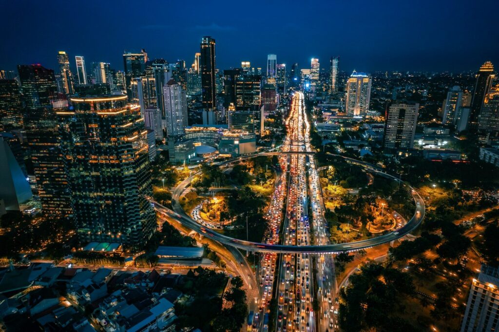
4. New York, United States — 16,753,793
5. Dhaka, Bangladesh — 16,291,746
6. Cairo, Egypt — 15,815,599
7. Shanghai, China — 15,695,451
8. Bangkok, Thailand — 14,535,885
9. Guangzhou [Shenzhen], China — 14,432,346
10. Tokyo, Japan — 14,183,081
In total, facilities in just these ten cities are exposing more than 162 million people to harmful pollution — more than the population of Japan.
The tool, developed with Carnegie Mellon University’s CREATE Lab, combines a global inventory of more than 660 million sources of greenhouse gas emissions with advanced atmospheric modelling. It allows users to view pollution spreading across cities on representative days – including those with the worst recorded air quality in 2024.
Below are screenshots of emissions in Lubin in Poland. The full animated graphic for the city can be seen here.
The above graphic shows the ‘prevailing conditions’ in Lubin, Poland. This is how communities in this are were most often exposed to pollution from these sources.The above graphic shows the ‘worst conditions’ in Lubin, Poland. This is a day when plumes show the greatest pollution exposure for communities in the area.
Climate TRACE co-founder Gavin McCormick, who also leads WattTime, said the visualisation makes hidden threats impossible to ignore: ‘Many people have long known that they live in the shadow of major emitters, and these global data only validate and quantify what those communities have been saying. But in other cases, dangerous pollution – and exactly who is causing it – can be surprisingly invisible. I was surprised to discover I myself live in the plume of a major emitter I had no idea about.’
In addition to the PM2.5 emissions covered in the air pollution tracking tool, Climate TRACE has also expanded its coverage of seven other harmful air pollutants: sulfur dioxide (SO2),nitrogen oxides (NOx), organic carbon, black carbon, carbon monoxide, ammonia and volatile organic compounds.
Climate TRACE also says it will expand the tool to pinpoint pollution concentrations down to neighbourhood level, pairing emissions data with public health and demographic information to identify communities facing the greatest risks. The coalition has already calculated the pollution burden of Louisiana’s “Cancer Alley,” where public health studies show cancer risk is 50 times the U.S. average.
Gore said the goal is to turn data into action: ‘This is a call to policymakers, to businesses, and to communities: the information is now visible to all. The next step is to act decisively to clean up the air and accelerate the transition to clean energy.’
Photo: Liana S
Leave a Reply