


Routing apps such as Google Maps could offer a cost-effective way to calculate emission hotspots in real-time, according to researchers at the University of Birmingham.
Current emissions data from road transport is collected by the National Atmospheric Emissions Inventory, who collect data from a number of sources and then produce annual reports.
However, according to the researchers, many of these traditional models rely on the assumption that traffic is freely flowing at the legal speed limit – whereas, in reality, traffic flow will vary throughout the day.
Routing apps routinely capture detailed information as motorists use the GPS technology to plan and navigate their routes. According to the researchers, this data could be invaluable to researchers and planners who need to better understand traffic flows.
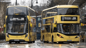
The team tested this method in Birmingham’s city centre.
Information was taken from the maps provider API, this is conceptually similar to the approach that an individual would take to calculate the time of a journey, using the API enables researchers to obtain information for multiple roads at multiple times of the day.

Following a successful preliminary study, the team scaled up their trial to include 920 major road links across Birmingham city centre, they extracted information about these roads at hourly intervals and were then able to clearly demonstrate the changes in traffic flow between typical weekdays and weekends.
Helen Pearce, lead author of the study said: ‘A lot of guidelines and policy on air quality management are based on hourly time snapshots and on the average amount of traffic on a typical day of the year.
‘The difficulty is that traffic can vary an enormous amount within that time window and along individual roads, so in order to make decisions that really work ‘on the ground’, we need to be able to access and make use of this finer-grained detail.’
Dr Zhaoya Gong, corresponding author on the study added: ‘Our approach could provide significant insights into real-world vehicle behaviours.
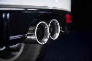
‘As we start to see more electric and hybrid vehicles on the road, the emissions picture starts to get more complicated because there will be less exhaust emissions, but we will still see pollution from brakes, tyres and road surface wear — all these will vary significantly according to the speed of the vehicle so this sort of data will be vital for developing accurate emissions models.’
Photo Credit – Pixabay
Leave a Reply