
















Chinese and European satellites have tracked a vast plume of sulphur dioxide from the damaged oil facilities in Tehran, revealing how nearly 30,000 tons of the toxic gas spread across the Middle East within days of the March 2026 attacks.
The explosions and fires at four separate locations released large quantities of pollutants into the atmosphere. Among them, sulphur dioxide (SO2) emerged as a particular concern due to its irritant and corrosive properties, as well as its role as a major precursor of acid rain.
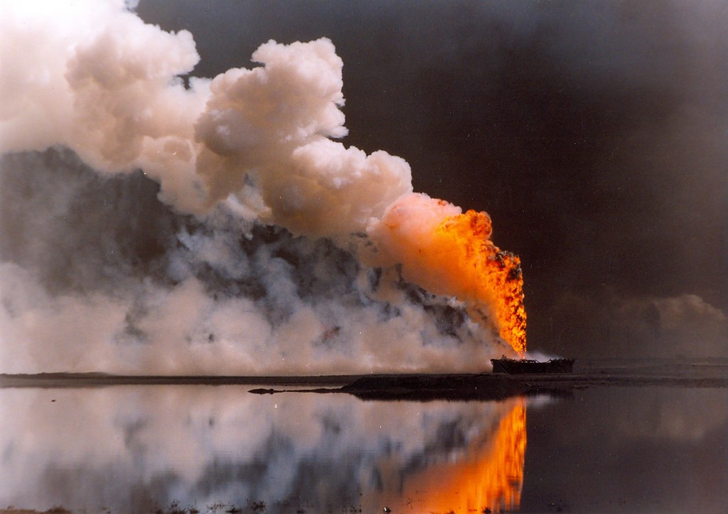
Local residents subsequently reported headaches, breathing difficulties and eye and skin irritation, with oil droplets and soot mixing with rainfall to produce dark ‘black rain.’
Due to the lack of monitoring eal-time ground-based atmospheric monitoring in the area, researchers from Wuhan University and the China Meteorological Administration used satellite data to monitor the event, tracking the plume’s evolution across multiple days.
Professor Peng Zhang, Meteorological Observation Centre, China Meteorological Administration, said: ‘We aimed to demonstrate that satellite remote sensing can fill this gap by providing wide spatial coverage and frequent observations to monitor atmospheric pollutants over large areas.’
The results show that within 24 hours of the initial explosions, average SO2 concentrations over Tehran and surrounding areas rose from approximately 0.8 Dobson Units to 2.0 Dobson Units. The affected area expanded to roughly 300,000 square kilometres, with peak concentrations reaching 10.8 Dobson Units. Total emissions were calculated at around 29,800 tons.
The pollution plume was blown northeastward, stretching more than 2,000 kilometres by the morning of 9th March. Forward trajectory analysis indicated that SO2 had reached altitudes of three kilometres. Rainfall over the Tehran region is thought to have accelerated the gas’s removal from the atmosphere, with the plume having pretty much dissipated by 9th March.
The study, published in Advances in Atmospheric Sciences, highlights the practical value of satellite remote sensing for rapid environmental emergency monitoring, particularly in regions where ground-based observations are limited. The Chinese and European instruments showed generally consistent spatial patterns and variation trends, with an average deviation between the two systems of just 0.4 Dobson Units.
The team point out that this event demonstrates how satellite systems can provide daily global coverage and rapid-response capability for sudden pollution events.
Zang said: ‘Our ultimate goal is to build a fully integrated global monitoring system using dawn-dusk, mid-morning, and afternoon sun-synchronous orbits. This would ensure that no matter when a “sudden pollution event” occurs, a satellite is overhead to record the data, allowing for a seamless transition from disaster detection to environmental impact recovery.’
The full research can be read here.
Photo: Openverse
Leave a Reply