


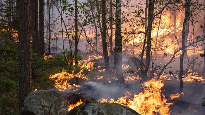
Current satellite-based estimates may be dramatically underestimating emissions from forest fires by missing the critical role of deep soil combustion, new research from Sweden has found.
The study compared field measurements from 50 forest fires during Sweden’s extreme 2018 fire season against six major global biomass burning datasets. They found that while satellite models predicted relatively uniform emissions across burned areas, verified real-world data data showed that fire intensity and carbon release varied enormously depending on soil conditions.
In the county of Dalarna, small fires burning through deep organic soils released nearly four times more carbon per m² than the much larger, more intense fires that raged across Gävleborg, where soil layers were shallower. The global datasets consistently overestimated emissions from the large fires while underestimating the concentrated carbon punch of smaller, soil-fed blazes.
Johan Eckdahl, forest fire researcher at Lund University and the University of California, Berkeley said: ‘What looks dramatic from above is not always what affects the climate the most. What matters is where it burns. A fire in deep peat soil can have a greater climate impact than hundreds of more intense fires on land with thin soil layers.
‘These findings reveal that current methods lack the spatial precision needed to understand what is driving emissions. We cannot simply attribute rising emissions to climate change without understanding the role of landscape and fuel structure.’
The research identified a critical threshold in fire behaviour, when high-intensity burning transitions to the ignition of smouldering combustion deep in the soil. Once this occurred, emissions were no longer controlled by weather conditions, but by the amount of carbon stored in the ground – which is itself determined by long-term climate and drainage patterns.
In high-intensity plots, emissions were tightly linked to mean annual temperature, precipitation and soil moisture. Crucially, this meant that hotspots of future emissions could potentially be mapped years before they burn, simply by identifying areas where climate and drainage create deep, carbon-rich soils.
To check their approach, the team compared it to a major fire in Sweden in 2014. Their model gave a result very close to real-world measurements – off by only 16%. But global datasets got it badly wrong, underestimating emissions by a wide margin because they missed the fact that peatlands, which release huge amounts of carbon when they burn, were driving the fire.
The findings raise questions about land management. The way forests are clear-cut can create sudden shifts from low-intensity to high-intensity fire behaviour, potentially allowing fires to spread into carbon-rich wetlands. This suggests that restoring drained peatlands and keeping landscape features that break up fire energy could be crucial for protecting the vast carbon stores locked away in boreal forests.
As the authors note, reconciling satellite data with ground truth is essential if we are to accurately track, and potentially mitigate, the escalating impact of boreal wildfires on the global carbon cycle.
Eckdahl concludes: ‘Satellites that show burning above ground are important for understanding where underground burning will begin. However, we need to combine satellite overviews with field work. Only then can we understand how much carbon is actually released, and how to best protect the most vulnerable carbon stores in a warming climate.’
The full research can be read here.
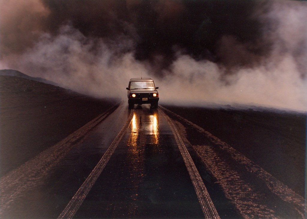
Photo: Johan A. Eckdahl
Leave a Reply