


Established in 2016 with a rich academic history, EarthSense has experienced 60% year-on-year growth. Its award-winning technology stack is maturing with its rapidly expanding service coverage, particularly in the UK. It now supports over 70 local authorities and has over 10 B2B partners providing industry specific solutions using its products. EarthSense’s ambition is to pull the air quality sector into the 21st century by providing innovative and novel solutions, helping businesses understand and mitigate air pollution issues.
Complete Air Quality Monitoring Services to Suit Your Budget & Project Needs
The complete air quality service comprises of a mix of hardware, software, and data solutions (SaaS and DaaS) through real-time air quality monitoring with the Zephyr®, MappAir® modelling and on-going data access through the MyAir® web app. The complete subscription-based service provides granular data and increased visibility of air pollution across towns and cities that can be tailored to suit specific budgets and applications from healthcare to construction, planning and smart cities.
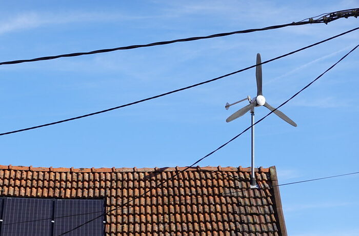
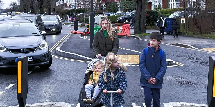
EarthSense’s flagship air quality monitor, Zephyr®, has continued to develop with over 1000 units shipped and now represents one of the largest networks of indicative reference monitors in the UK. Clients such as London Borough of Newham have deployed Zephyrs across the Borough to gain insight into exactly how air pollution behaves at areas of interest – particularly near schools. Real-time air pollution measurements taken by the Zephyr® are helping to identify the impact of air pollution on children’s health by correlating the effects of traffic and congestion outside schools. New for 2022, the introduction of the virtual Zephyr® is also targeted to schools and local authorities that want to capture air quality levels but cannot afford to operate a monitoring system. The cost-saving solution provides hour-by-hour pollution levels at any chosen location without the need for installing hardware, allowing anyone to access tailored air quality data and advice.
Developments to MyAir® not only allow EarthSense’s business users to view, analyse and download air quality information, but expanding capabilities include a public-facing tool for monitoring air quality and issuing alerts and advice for the public. EarthSense has worked with its UK partner and distributor, Enviro Technology Services, and Sandwell Metropolitan Borough Council to provide Zephyr® monitors to faith centres across Sandwell with access to data via the MyAir® Public app for residents to view real-time concentrations. This data is being used to make informed decisions about travel and lifestyle choices that help create healthier towns and cities from within the faith centres.
MappAir’s functionality over the years has expanded to include Computational Fluid Dynamics (CFD), third-party integration, source apportionment, scenario planning and additional data layers including rail and airport data for higher resolution and more accurate pollution information. Working with Aimsun and Highways England, the award-winning NEVFMA (Network Emissions/Vehicle Flow Management) project saw the integration of EarthSense’s MappAir® data help manage traffic flow whilst reducing air pollution in Oxford. Using a variety of MappAir® functions from near real-time data to 72-hour forecast data, Aimsun were able to model various scenarios in advance to predict the most optimal traffic management strategy with the lowest impact on air quality.
In 2021, EarthSense was commissioned by environmental change charity, Global Action Plan (GAP), on a study to identify the most polluted schools in the UK. Using annualised average data for each school postcode from the MappAir® model, it was discovered that 27% of schools in the UK were in areas that exceeded the World Health Organisation (WHO) limits. Dating back to 2014, annual averaged datasets provide insight into trends making it easier for businesses to identify whether mitigations are working. For example, annual average data is also being used to plan new infrastructure for greener transport options such as walking and cycling in cities – helping to reduce personal pollution exposure.
This can also be achieved through MappAir’s enhanced scenario planning feature, which can help the likes of local authorities, fitness tracking applications and transport companies by suggesting cleaner, safer routes to travel and exercise.
Whether your project requires one virtual Zephyr® or the full technology stack of hardware, advanced modelling, and public data access, EarthSense can deliver a range of monitoring solutions that are flexible and tailored to suit your budget and multiple project needs. Leicester City Council made use of the complete air quality service using a combination of mobile and static Zephyrs, Mappair® modelling with CFD and MyAir® to identify and manage woodburning smoke emissions (PM2.5) in the city. Learn more about this project along with a host of other case studies, news, and technical information at or get in touch to find the right solution for your air quality monitoring project by speaking to EarthSense. Find them at: www.earthsense.co.uk
Leave a Reply